The NLCD (National Land Cover Database) is a dataset produced by the Multi-Resolution Land Characteristics (MRLC) Consortium, led by the U.S. Geological Survey (USGS).
It provides a raster-based land cover classification of the entire United States using Landsat satellite imagery, with a 30-meter resolution. The database includes categories such as:
-
urban/residential areas (with varying densities),
-
forests,
-
agricultural land,
-
wetlands,
-
water bodies,
-
grasslands, etc.
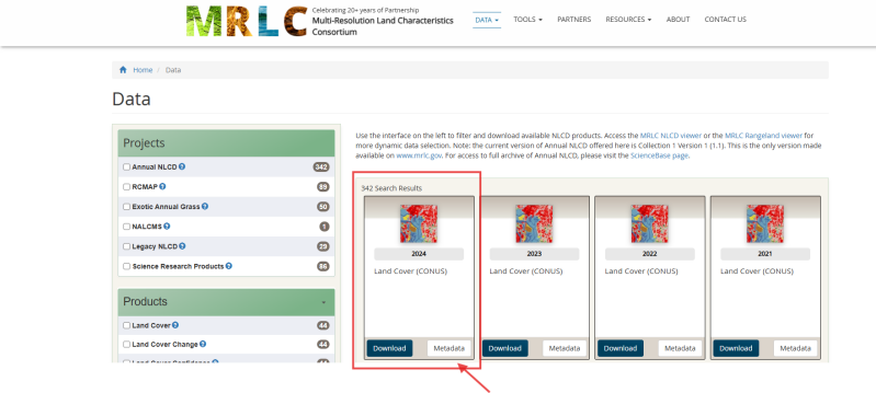
You can download the 2024 Land Cover (CONUS) at this link:
Data | Multi-Resolution Land Characteristics (MRLC) Consortium
Aggiungi commento
Commenti